The LinvilleGorge.net map is free and is the default unofficial trail map for the Linville Gorge community. It was developed over many years by Ken Crump and the dedicated Gorge Rats of LinvilleGorge.net. New in 2019, the project has expanded to include nearby Wilson Creeek and the Harper Creek and Lost Cove Wilderness Study Areas.
This project captures dispersed campsites, water sources, landmarks, and other points of interest. All official US Forest Service trails are included, as well as many unofficial trails. This map’s completeness and ongoing development by the community make it the preferred map of most outdoor enthusiasts in this area.
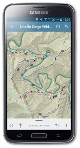
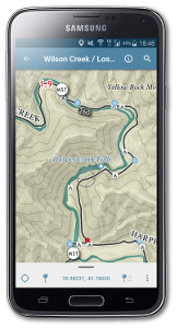
The most popular edition is the one for your phone. First you’ll need to install the free Avenza Maps app. Everyone loves this app! The best feature is the “you are here” marker, showing you exactly where you are on the map even if you don’t have cell phone reception.
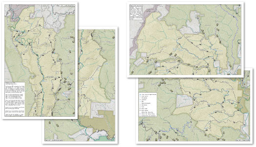
No matter how much you love Avenza, it’s always best to have a printed map as a backup. Printing Tip #1: laser printing stands up to moisture better than ink jet. Printing Tip #2: Rite-in-the-Rain sells weather resistant, laser print paper. Printing Tip #3: Print shops offer surprisingly inexpensive color laser printing, and may even let you use your own weather resistant paper. Here’s a free 4-page PDF you can take to a print shop for 2-sided 11″ x 17″ printing.
Linville Gorge / Lost Cove / Harper Creek for 11″ x 17″ Printing
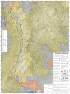
If you like a wall map, or don’t mind carrying a big print map in the field, then here’s a huge Linville Gorge poster in the standard 36″x48″ format that many print shops can handle. A more manageable 24″x36″ print edition is in the works.
Linville Gorge Poster for 36″x48″ Printing

 Linville Gorge for Avenza
 Wilson Creek / Lost Cove / Harper Creek for Avenza
