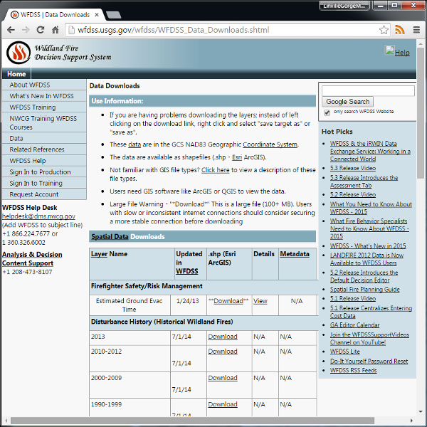
Now a decade old, the Wildland Fire Decision Support System was chartered to help deal with the growing size and complexity of wildfires. As such WFDSS handles a great deal of geospatial data, much of which is offered for download. Data offerings include wildfire history and other layers that impact wildfire response such as boundaries, special designations, structures, and protected resources. Their data is free to download, but comes only in shapefile (ESRI ArcGIS) format, so you’ll need the software to handle it.

