The University of North Carolina at Chapel Hill hosts the North Carolina Maps collection of digitized historical maps.
Some of their maps have been prepared for viewing in Google Earth and may be of interest to a study of the Linville Gorge:
- Burke County Soil Survey, 1926
- North Carolina State Highway Map, 1936
- Burke County Highway Map, 1938
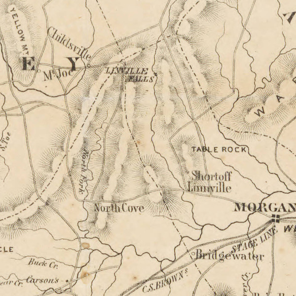
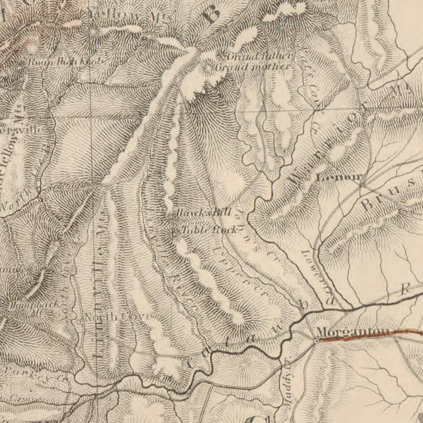
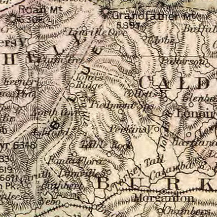
Most of the collection is not georeferenced for Google Earth due to the extreme inaccuracies of maps in centuries past. It’s these inaccuracies, though, that make the maps so interesting. Mixed in with limited understanding of the lay of the land is a greater understanding of historical information all but forgotten today. Linville Gorge doesn’t figure in maps prior to the mid-1700’s, but more general information is still available, such as “Charakey villages” in the area. Below are a few examples of later maps. You can find many more if you browse the North Carolina Maps collection.