Burke County GIS Online Map Viewer provides access to various layers of county management interest, including aerial photography and parcel info. Imagery from 2005, 2009, 2010, and 2014 is available. Select your desired imagery using the “OrthoPhotos” button on the top right of their screen. Parcel info can be displayed by enabling that layer in their sidebar.
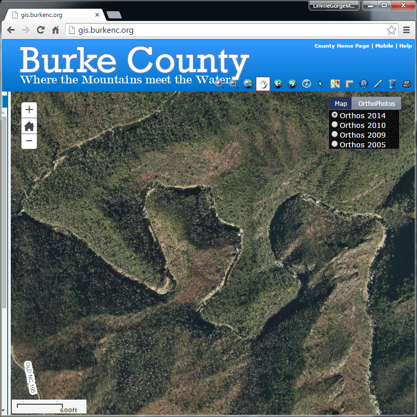
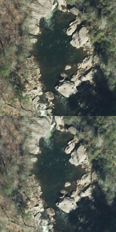
While the 2014 imagery can be more conveniently viewed using the LGMAPS Collection for Google Earth, there may be an advantage to using the Burke County website if you require maximum image quality. The original 2-D imagery was captured at pixel-per-six-inch resolution using NC State Plane projection and is nice and crisp in the Burke County Map Viewer. When projected into 3-D in Google Earth the imagery is slightly blurred.
If you need precision information on wilderness boundaries, the Burke County site is superior to the boundary information provided by the federal government. Note that the “Pro” version of Google Earth also incorporates this higher-quality parcel data.
So if you require precision imagery or boundary info, it’s worth braving the slightly clunky interface of the Burke County site. The county’s GIS department has put a lot of effort into upgrading their site in recent years, so be sure to thank them next time you’re in their office in Morganton.