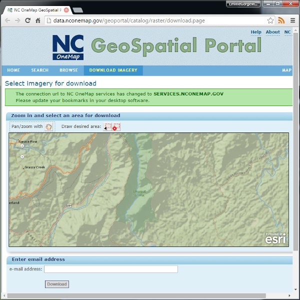
The state of North Carolina’s NC OneMap website is geared toward GIS professionals, but offers a wealth of data for map enthusiasts as well. The GeoSpatial Portal offerings include:
2010 and 2014 aerial imagery
2010 Orthoimagery ArcGIS Image Service
2010 Orthoimagery OGC WMS Service
2014 Orthoimagery OGC WMS Service
Shaded Relief Elevation Service
NC OneMap Data Explorer lets you mix and match basemaps and external services without having to install GIS software on your computer.
NC OneMap also offers an interface for downloading USGS geoPDF maps, but you might as well just go straight to the USGS Map Locator and Downloader.
GIS professionals may be interested in NC OneMap’s Road Centerline Downloads.

