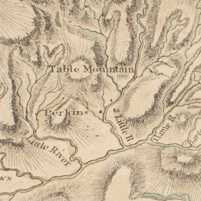
UNC’s North Carolina Maps collection includes a 1770 map of North Carolina “publish’d according to Act of Parliament, May the 1st 1770, by S. Hooper No. 25 Ludgate Hill, London.”
Additional information from UNC:
As might be expected, the map only hints at the existence of the Linville Gorge, though it does show a “Table Mountain”.

