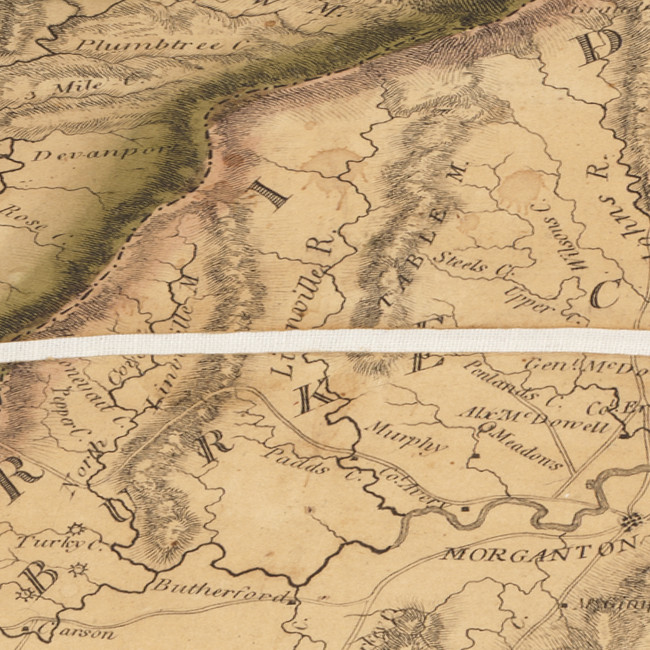
UNC’s North Carolina Maps collection includes a survey of North Carolina published in 1808.
Additional information from UNC:
The map indicates a “Linville R.” between mountain ridges labeled “Linville M.” and “Table M.”. Burke County boundaries are different than those of today.

in the North Carolina Maps collection at UNC.
