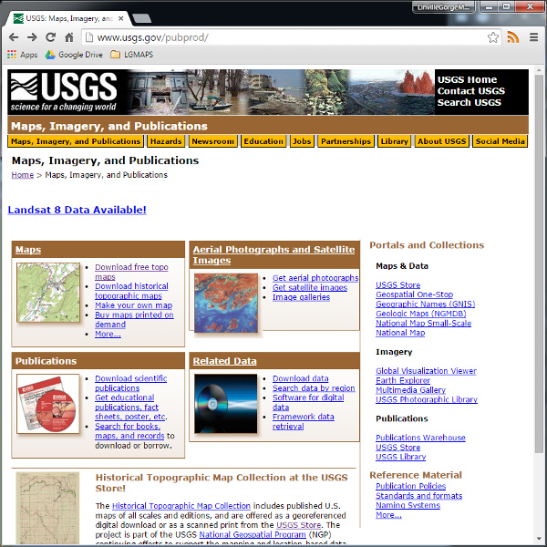
The US Geological Survey has a number of redundant portals to their map data. Their Maps, Imagery, and Publications is probably the best. It’s not as fancy as their National Map Viewer, but loads quickly and appears to give easy access to just about everything they’ve got. Sometimes parts of the USGS website don’t work, but when they do they’re a great resource.

