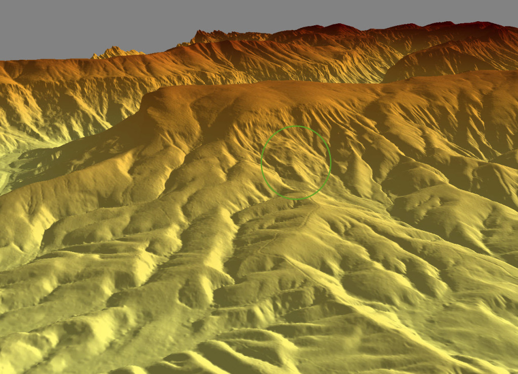
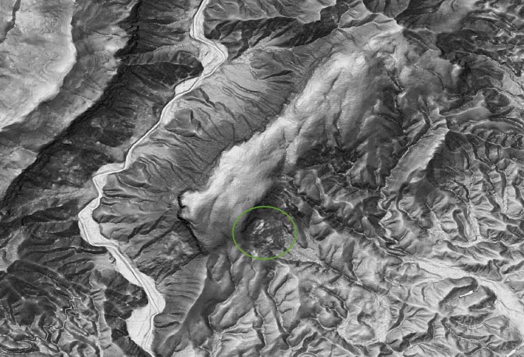
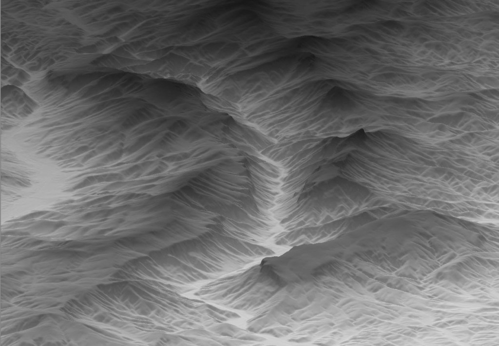
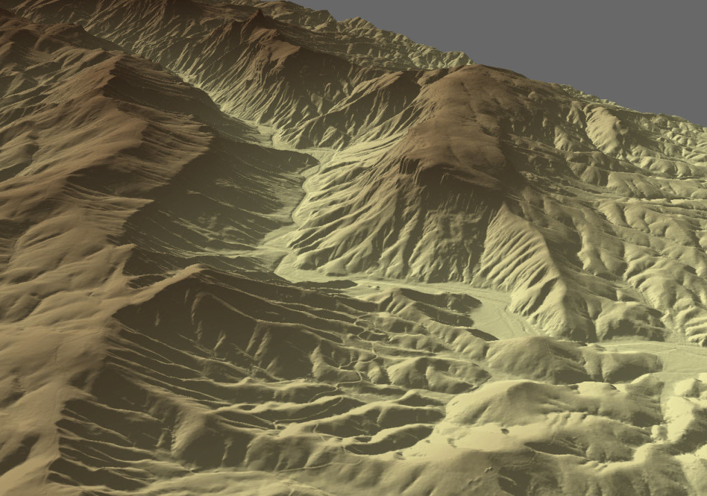
Rick Lockamy has been creating some great images of the gorge using new LIDAR elevation data. Here he shares with us some of his work revealing landslide deposits on Shortoff’s southern slopes.
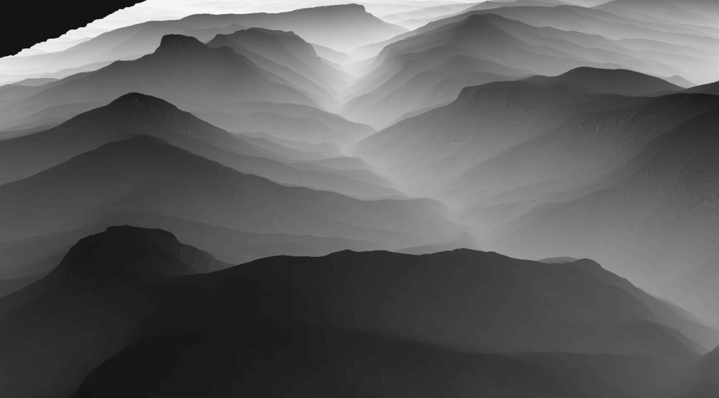
Rick is a geologist with NCDOT Geotechnical Engineering Unit in Asheville. BS in geology at WCU and learned GIS at AppState. This post is only a first installment from his work. We’ll have more up soon, including a look at just how close the Linville River is to abandoning the gorge and plunging into North Cove instead.
